NYC Subway Map & Routes Guide for Tourists: How to Use the MTA Subway System for Easy Access to NYC Attractions
Reading time: 10 minutes
Visiting New York City can be exhilarating, but navigating it without spending hours stuck in traffic or overpaying for taxis is key to a great experience. One of the most efficient and affordable ways to get around is by using the NYC subway map. In this comprehensive guide, we’ll break down how to use the MTA subway map to access NYC attractions, find the nearest subway station, understand the subway fare NYC, and make the most of your MTA subway pass. We’ll also include valuable tips and information about MTA accessible subway stations to help all tourists travel comfortably.
Why the MTA Subway Is the Most Convenient Way for Tourists to Explore NYC
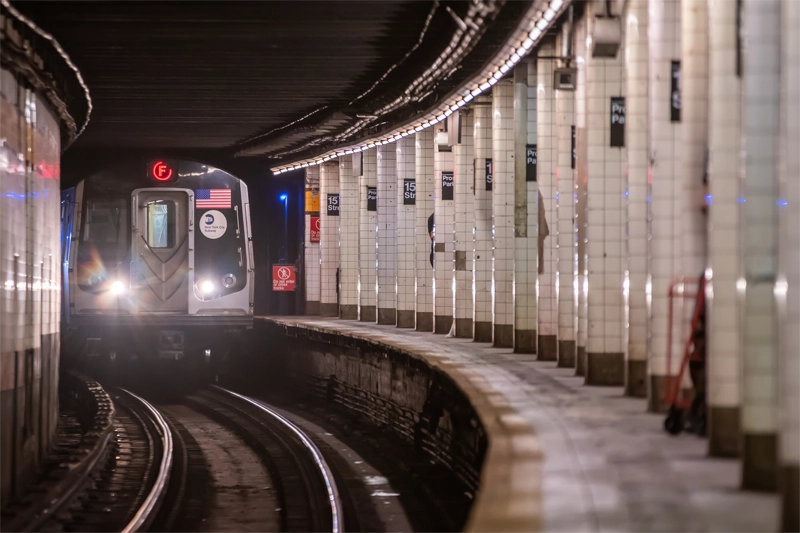
New York City’s Metropolitan Transportation Authority (MTA) subway system is the largest in the world, with 472 stations and 27 subway lines. It’s also one of the most tourist-friendly transport systems, providing easy access to virtually every major attraction in the five boroughs.
Key Benefits for Tourists
-
Coverage: Access to most neighborhoods and boroughs, including Manhattan, Brooklyn, Queens, the Bronx, and even Staten Island (via ferry).
-
Speed: Bypass street traffic and avoid the cost of taxis.
-
Affordability: Options for single rides, unlimited passes, and discounts.
-
Frequency: Trains run 24/7 with regular service intervals, especially on major lines.
Reliable and Safe Transportation
While navigating a big city can feel overwhelming, the MTA subway is a safe and reliable option for tourists. There are police officers stationed in many of the high-traffic areas, emergency buttons and intercoms in stations and train cars, and digital displays that show train arrivals and service changes.
For tourists looking to explore tourist attractions in NYC such as the Empire State Building, Central Park, and Times Square, the subway is not only convenient but also part of the authentic New York experience.
How the MTA Subway System Works for Tourists Using the NYC Subway Map
Understanding how to use the NYC subway system may seem daunting at first, but with a little guidance and practice, tourists can quickly become confident subway riders.
Understanding the NYC Subway Map
The NYC subway map is color-coded and labeled to help riders easily identify lines and transfer points. Each subway line is designated by a number or letter:
-
Numbered lines (1–7) serve Manhattan from north to south and also connect to the Bronx, Brooklyn, and Queens.
-
Lettered lines (A–Z) provide extensive service across all boroughs.
You can pick up a physical map at subway stations or download it as a PDF from the MTA website. Most subway cars and stations also feature the MTA subway map NYC for easy reference.
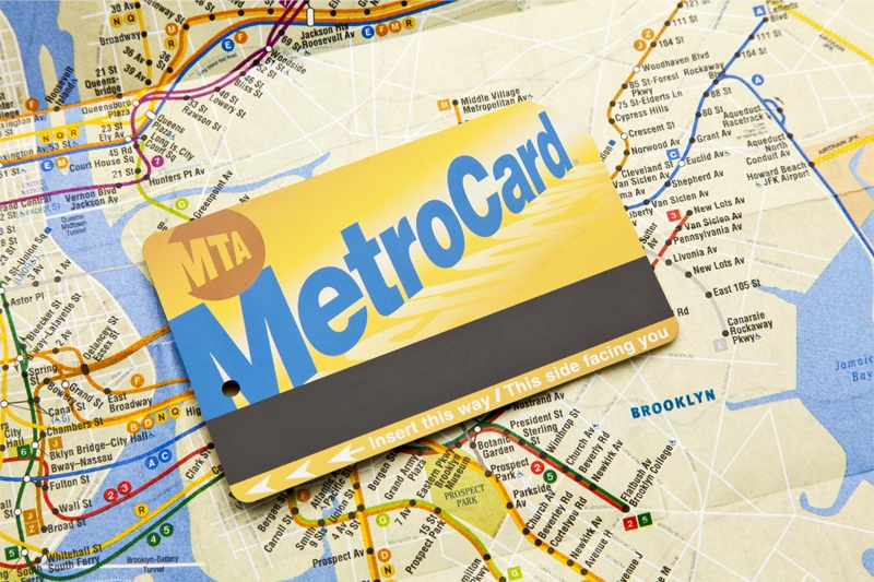
Choosing MetroCard vs. OMNY
Tourists have two primary options for fare payment:
-
MetroCard: Traditional swipe card; available as pay-per-ride or unlimited passes.
-
OMNY: Tap-and-go contactless payment system that accepts credit/debit cards and digital wallets.
Paying Subway Fare NYC
-
Single Ride: $2.90 (valid for one ride within two hours, includes transfers to buses or other subway lines)
-
7-Day Unlimited Pass: $34 (ideal for visitors staying 3+ days and making multiple trips per day)
-
OMNY Weekly Fare Cap: After 12 paid rides with the same card/device from Monday to Sunday, the rest of your rides that week are free.
Learning Transfer Rules
Transfers between subway lines and between subway and bus within a two-hour window are free when using the same MetroCard or OMNY card. This is incredibly useful when changing lines or heading to less centralized destinations.
Top NYC Attractions Accessible by MTA Subway
With the help of the NYC subway map, tourists can reach dozens of iconic attractions without needing a car or ride-share app. Here are the top tourist attractions NYC and how to reach them:
Times Square
-
Nearest Subway Station: Times Sq-42 St (1, 2, 3, 7, N, Q, R, W, A, C, E)
-
A hub of lights, theaters, and entertainment, Times Square is accessible via nearly every major subway line.
Central Park
-
Nearest Subway Station: 59 St-Columbus Circle (A, B, C, D, 1)
-
From here, you can explore the southern section of Central Park, visit the Time Warner Center, and start walking up to Museum Mile.
Statue of Liberty & Ellis Island (via Battery Park)
-
Nearest Subway Station: South Ferry (1), Bowling Green (4, 5), Whitehall St (R, W)
-
Catch the ferry to the Statue of Liberty from Battery Park with easy access via multiple lines.
Empire State Building
-
Nearest Subway Station: 34 St-Herald Sq (B, D, F, M, N, Q, R, W)
-
This iconic skyscraper is just a short walk from Penn Station and Macy’s.
Brooklyn Bridge & DUMBO
-
Nearest Subway Station: Brooklyn Bridge-City Hall (4, 5, 6), High St-Brooklyn Bridge (A, C)
-
Enjoy a scenic walk across the bridge and explore the trendy neighborhood of DUMBO in Brooklyn.
The MET and Guggenheim
-
Nearest Subway Station: 86 St (4, 5, 6)
-
Museum Mile on the Upper East Side is home to many of NYC’s finest museums.
One World Observatory
-
Nearest Subway Station: Fulton St (2, 3, 4, 5, A, C, J, Z)
-
This breathtaking view at the top of One World Trade Center is easily accessible from downtown lines.
Rockefeller Center & Radio City Music Hall
-
Nearest Subway Station: 47–50 Sts-Rockefeller Ctr (B, D, F, M)
-
Home to the famous ice rink, NBC Studios, and the Top of the Rock observation deck.
Additional Attractions
Don’t miss these other spots:
-
Bronx Zoo: E 180 St (2, 5)
-
Yankee Stadium: 161 St-Yankee Stadium (B, D, 4)
-
Coney Island: Stillwell Ave (D, F, N, Q)
-
Flushing Meadows-Corona Park: Mets-Willets Point (7)
Tips for Navigating the Subway Like a Local
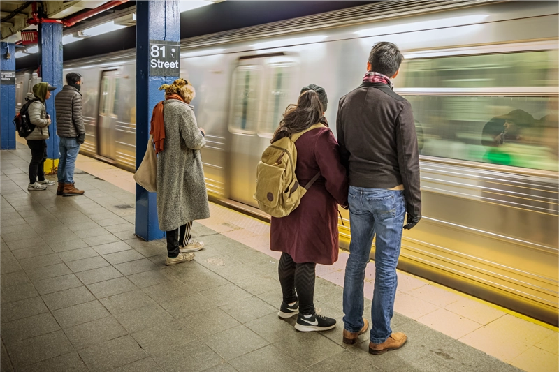
Even seasoned travelers can benefit from a few insider tips. Here’s how to move through the system efficiently and confidently.
Download a Subway App
Use apps like:
-
Citymapper – Great for real-time directions and service alerts.
-
Transit App – Offers live departure times and train crowding estimates.
Learn the Difference Between Uptown and Downtown
-
Uptown: Northbound trains (often toward the Bronx or Upper Manhattan)
-
Downtown: Southbound trains (toward Lower Manhattan and Brooklyn)
-
Signage in stations clearly indicates direction.
Understand Local vs. Express Trains
-
Local Trains: Stop at every station.
-
Express Trains: Skip certain stops to speed up travel.
-
Check the map or platform signage to make sure you’re on the right train.
Safety & Etiquette
-
Let passengers off the train before boarding.
-
Avoid blocking doors.
-
Keep your belongings close and be aware of your surroundings.
How to Save Money on the MTA Subway Pass While Sightseeing in NYC
Choose the Right Fare Option
-
If you're in NYC for a week or more, the 7-Day Unlimited MetroCard can save you money quickly.
-
OMNY’s weekly fare cap system makes it easier for tourists to avoid overspending.
Combine MetroCard with TopView Hop On Hop Off Pass
Tourists looking to cover a lot of ground in NYC can get the best value by combining their MetroCard with the TopView Hop On Hop Off Pass. While the MetroCard gives you access to all MTA subway lines, the hop on hop off buses offer a flexible and scenic way to explore neighborhoods above ground, with audio guides and stops near major attractions. Bundling the two lets you enjoy the convenience of the subway and the sightseeing benefits of guided bus routes—all while maximizing your time and savings in the city.
Travel Off-Peak
Off-peak travel (midday, late evenings, weekends) can be less crowded and more comfortable for sightseeing.
Kids Ride Free
Children under 44 inches tall ride free with a paying adult – perfect for family travelers looking to save on transport.
Use Transfers Wisely
Plan your routes using free transfers between subway lines and buses within two hours. This allows you to chain multiple attractions in one outing without extra costs.
Guide to MTA Accessible Subway Stations for Tourists with Disabilities
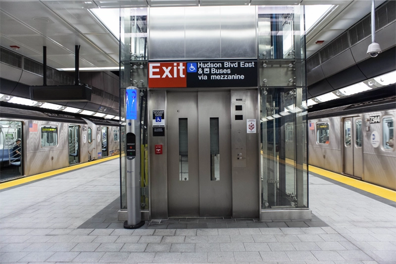
The MTA has taken significant steps to make the NYC subway more accessible. While not all stations are fully equipped, there are many that support visitors with mobility needs.
What Makes a Station Accessible?
-
Elevators connecting all levels of the station
-
Ramps, tactile strips, and wide fare gates
-
Audio and visual service announcements
-
Braille signage on handrails and maps
Accessible Stations Near Top NYC Attractions
-
Times Sq-42 St: Elevators throughout, one of the most accessible and connected stations
-
Grand Central-42 St: Major lines, with elevators connecting Metro-North and subway lines
-
34 St-Herald Sq: Accessible via elevators
-
World Trade Center: Fully accessible via Chambers St and Fulton St lines
-
59 St-Columbus Circle: Serves Central Park and is fully accessible
-
Barclays Center – Atlantic Ave: Serves Brooklyn and multiple lines; fully accessible
-
Yankee Stadium: Accessible for game day visits
Planning Your Trip
Visit the MTA Accessibility page for real-time elevator and escalator status. Many transit apps also allow you to filter for accessible routes.
Travelers with disabilities should also look into Access-A-Ride, a paratransit service offered by the MTA, which provides scheduled transport for those who cannot use the subway or bus.
And Finally…
Mastering the NYC subway map is essential for any tourist aiming to see the best of the Big Apple efficiently and affordably. Whether you’re heading to iconic NYC attractions, looking for the nearest subway station or NYC subway station, trying to understand subway fare NYC, or seeking an MTA accessible subway station, this guide provides everything you need. With your MTA subway pass in hand and a little knowledge, the entire city is just a train ride away.
Use the MTA subway map NYC to plan your itinerary, save money with the right pass, and feel confident exploring like a local. Whether it’s your first time or your tenth, New York’s underground world is your gateway to unforgettable experiences.
From tourist hotspots to hidden gems, the subway unlocks the entire city. So grab your MetroCard or tap with OMNY, and start exploring the real New York — one station at a time.